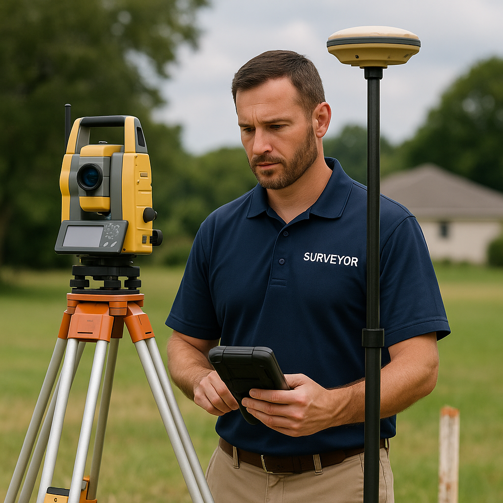
What Are Spot Elevation Surveys?
Hannah Taylor
December 12, 2023

A spot elevationsurvey, while considered the simplest form within the realm of topographical surveys, plays a foundational role and sets the stage for more intricate and comprehensive investigations in land surveying. Although it may not delve asdeeply as a comprehensive topographical survey, a spot elevation survey share sessential commonalities and provides a vital groundwork that is indispensablefor subsequent, more labor-intensive surveying endeavors.
The informationgleaned from spot elevation surveys is of paramount importance in the realms of planning, design, and gaining a profound understanding of the natural environment surrounding a specific site. These surveys prove invaluable inscenarios where actual heights need to be compared to proposed heights post the leveling of particular land portions. Additionally, they shed light on the elevation of drainage features in relation to potential flood sources, offering insights into the highest and lowest points of proposed retaining walls. Armed with comprehensive knowledge about the land's elevation well in advance, spot elevation surveys become instrumental in averting potential issues related to leveling, flooding, and damage due to severe weather conditions. They stand aseffective planning tools for construction professionals and property owners alike, serving as an indispensable resource for individuals contemplating easements or seeking specific flood or landslide insurance for their property.
Spot elevation surveys offer a precise determination of the height of specific areas concerning sealevel. Depending on the survey's specific purpose, they may involve ameticulous comparison of actual heights to proposed heights after specific landportions have undergone leveling. Furthermore, these surveys offer a visual representation of drainage feature elevations in relation to potential flood sources and provide insights into the extremes of proposed retaining walls.
An on-site team will conduct elevation measurements at 25-foot intervals across the entire property,extending them 10 feet beyond the property lines, when accessible. This approach, known as a 25-foot grid with a 10-foot overlap, can be customized based on the client's specific requirements depending on the unique characteristics of the property under survey and the specific requirements ofthe client.
As the premier provider of spot elevation surveys in Florida, First Choice Surveyors is dedicated to meeting the diverse surveying needs of its clients. If you find yourself in need of a spot elevation survey, do not hesitate to reach out to usfor a comprehensive estimate. Our team stands ready to assist you in navigating the intricacies of land surveying with precision and expertise.
Related Articles
Lorem ipsum dolor sit amet, consectetur adipiscing elit.

6 Simple Ways to Prevent Survey Delays and Keep Your Closings on Track

What Exactly Does a Land Surveyor Do?


